Campbell River is approximately two thirds the way up Vancouver Island. From Campbell River to Victoria at the southern end is roughly a four hours drive on high speed highways to help you get an idea of the size of this place. There's roughly two and half to three hours of driving north of us as well!

From Campbell River to Victoria the waters between the Island and the Mainland is fairly open with many smaller islands like stepping stones. The waters were known as Georgia Strait and more recently renamed to the Salish Sea in honour of our aboriginal peoples.
Here at Campbell River the Salish Sea is pinched off as the density of islands increases. The passage in front of CR is the most open and means that not only do we get a large transit of returning salmon stocks, but we are also a route for cruise ships as they slowly make their way northwards to Alaskan waters.
As for the fishing, our neighbour said she met a couple this past week that had gone out fishing at 8 am and were back and done by 9:30 am. They had bagged two large chinook salmon weighing roughly20-24 pounds each and that the fish were biting at 'anything' thrown in the water! (They are allowed one fish each per day). We call ourselves the Salmon Fishing Capitol of the World
Meanwhile the cruise ships leave Vancouver around four or five in the afternoon and so cruise up the Sea and slowly pass by our town in the evening as they enter the Discovery Passage so to connect with Johnstone Strait and again on the return journey. Its great fun for residents to go down to the Spit and watch them go by relatively close in the channel, but they can be viewed anywhere there's a beach, and we have many miles of beaches!
The harbour with its man made breakwaters. The large centre and parking lot is the major shopping centre. Further up town there is another dock with more fish boats and a fishing pier where you can rent gear, get a license, and catch a salmon right there! Fishing nets and cleaning table provided and hungry gulls waiting.

We were driving back along highway 19A , or known as the seaside route, when near Oyster Bay we spotted this..... so we carried on closer to town and eventually parked north of Willow Point and watched this Nordamm vessel float down the end of the Discovery Passage and the end of Quadra Island.

Imagine our surprise when this happened! Two ships in the channel heading south ....
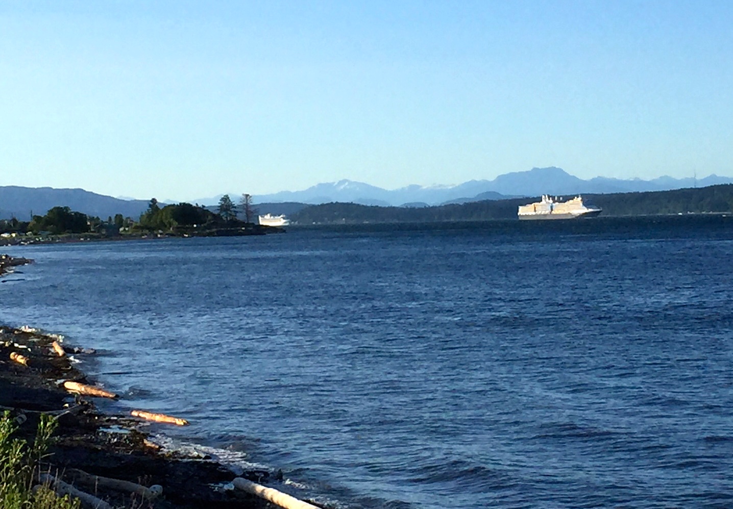

The one above and below are the closest we could get with cell phone cameras. We couldn't see the ship's name but it has the classic dark blue hull of the Nordam Line.

Here's a better shot taken by a CR citizen in the narrower Discovery Passage from an elevated view, with a much better camera too!

 |
| Cape Mudge lighthouse on the southern end of Quadra Island |
Moving very slowly, possibly in view of new laws to protect orcas and other whales, she carried on down the ever widening Strait.....

The next vessel looks like one of the Princess Lines, but I don't know for sure. It could be any of the newer ships built in recent years with many decks and basically HUGE. I wondered how it handles in rough seas and high winds with so much superstructure?

So here are some pics taken by other residents:
 |
| Baby orca leaping at Cape Mudge |
 |
| Spring at the waterfront 2018 |
 |
| One of many nature walks in the area |
 |
| Miles of beaches to stop and enjoy.... and some make driftwood art, or simply a campfire and watch the sun go down . |
We were down at what they call the spit here the other night and the waters there in the passage were full of men in row boats fishing. Seems they were all trying to become members of the Tyee Club. To become a member you have to use (inspected) special fishing gear, be in a boat that is being rowed (no motor during fishing time) and catch a Chinook salmon 30 (yes, thirty !) pounds and higher. Here are the official catches to 2017. Very exclusive club and has had many illustrious and international members, of all ages and gender, over the years.
Next post will be weaving related as I have had some shawls finished up and soon will be photographed. Company is coming for a week as well. Don't you love summer?
 |
| In Discovery Passage rowing for the big one! |
Next post will be weaving related as I have had some shawls finished up and soon will be photographed. Company is coming for a week as well. Don't you love summer?


